
Retaining Walls in Pisgah Forest, NC.
Pisgah Forest is half river bottom and half hillside. About 45% of the ground is under an 8% slope, most of it floodplain, and 41% is at a 15% slope or steeper, with rock close under part of it.
We'll reach out within 24 hours to schedule your free on-site estimate. Prefer to talk now? Call (828) 702-7125.
- We confirm the details and book a time
- We walk the site and talk through the slope, soil, and access
- You get a clear, written, line-item scope
Only if you are on the hill. Within a mile and a half of Pisgah Forest the USDA soil survey maps 45% of the ground under an 8% slope, most of it floodplain where the Davidson River meets the French Broad. Walls do little there. The rest is different: 41% of the ground is at 15% or steeper, and the Brasstown, Junaluska and Tsali soils there have bedrock 18 to 36 inches down. On a 23 percent grade, 20 feet of level yard takes about 4.6 feet of wall.
Two soils that flood, three that sit on rock
Pisgah Forest sits at 2,104 feet. The two largest soil units are both rated frequently flooded: Toxaway loam, 19% of the area, and Rosman fine sandy loam, 13%. Then the hills start. A Brasstown and Junaluska complex covers 11% of the area on 15 to 30 percent slopes and 6% on 8 to 15 percent, with bedrock about 36 inches down. A Junaluska and Tsali complex on 30 to 50 percent slopes covers 8%, with rock at about 18 inches. Across the circle, bedrock is within 40 inches under 32% of the ground.
Stone, block and boulder retaining walls on the Pisgah Forest hills
Rock at 18 to 36 inches shapes the wall. A boulder retaining wall or a stone gravity wall can sit on a stepped rock base and needs no reinforcement behind it, which suits thin soil. Segmental block works where there is enough depth for geogrid or where the wall stays low. The median lot is 1.16 acres, so there is usually room to bring stone in. Western NC prices run $35 to $90 per square foot of wall face for stone or boulder and $30 to $60 for block. On the river flats, a low wall around a bed or a patio is simple work.
Retaining wall repair in Pisgah Forest
The nearest NOAA station, 2.2 miles off, averages 69 inches of precipitation a year, and two of the hill soils here carry the phrase high precipitation in their survey names. Water moving over shallow rock is what undoes a hillside wall: it comes out at the base, softens the ground in front and lets the wall slide. On the flats the cause is different. A wall there fails when floodwater gets behind it. We rebuild with drainage sized for the site. Typical residential wall projects in Western NC run $4,000 to $25,000.
See the full service on our retaining walls page, and the wider Pisgah Forest service area.
USDA soil survey, USGS and NOAA figures for the ground within 1.5 miles of Pisgah Forest.
Photos from recent jobs
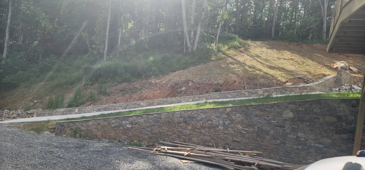
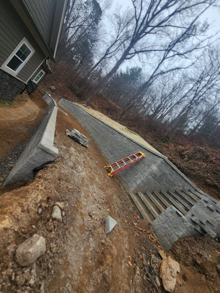
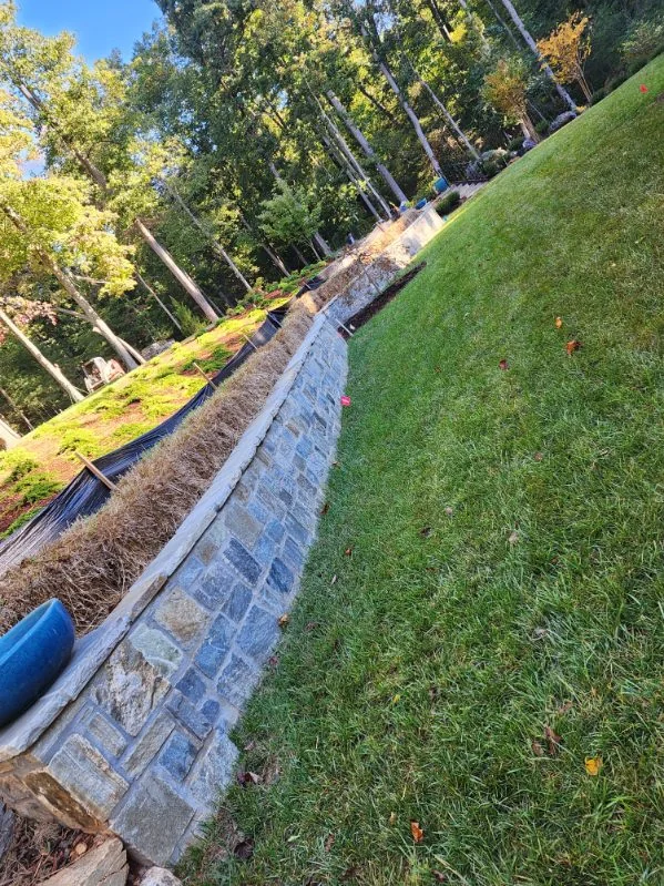
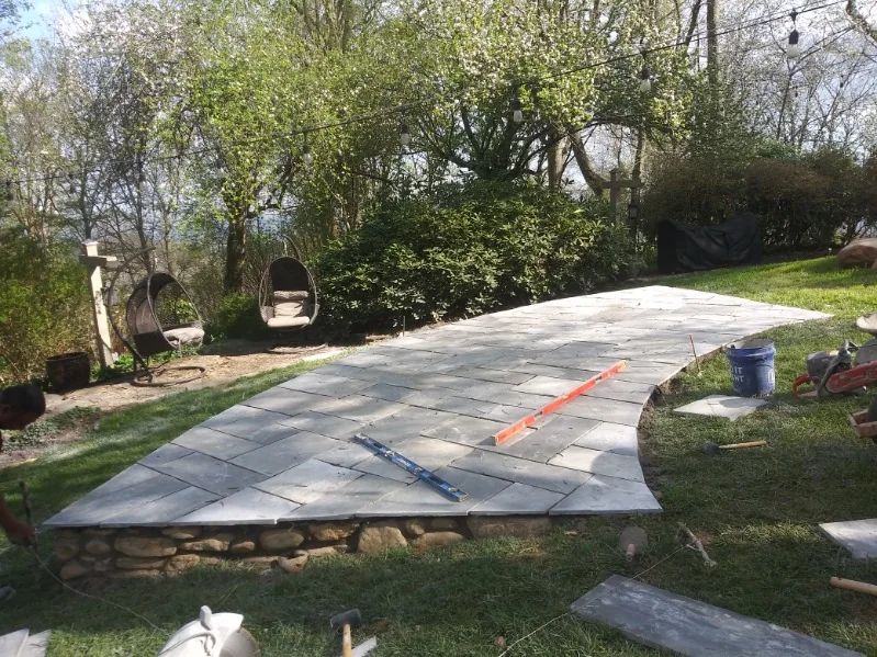
The soils mapped around Pisgah Forest.
What the USDA soil survey maps inside a circle of 1.5 miles around Pisgah Forest: 49 soil map units over about 4,500 acres. These are the largest, with the slope and water figures behind the work on lots around Pisgah Forest.
| Soil map unit | Share of ground | Slope | Drainage class | On the map | What it means |
|---|---|---|---|---|---|
| Toxaway loam, 0 to 2 percent slopes, frequently flooded | 19% | 1% | Very poorly drained | flooding: frequent; water table about 6 in down | Drain + grade |
| Rosman fine sandy loam, 0 to 2 percent slopes, frequently flooded | 13% | 1.1% | Well drained | flooding: frequent; water table about 51 in down | Flood-prone: build high |
| Brasstown-Junaluska complex, high precipitation, 15 to 30 percent slopes | 11% | 23% | Well drained | bedrock about 36 in down | Wall / slope work |
| Junaluska-Tsali complex, high precipitation, 30 to 50 percent slopes | 8% | 40% | Well drained | bedrock about 18 in down | Wall / slope work |
| Brasstown-Junaluska complex, 8 to 15 percent slopes | 6% | 12.5% | Well drained | bedrock about 36 in down | Surface grade |
| Fannin fine sandy loam, 30 to 50 percent slopes | 6% | 40% | Well drained | no flooding, shallow rock or shallow water on the map | Wall / slope work |
Across the whole circle: 41% of the ground is mapped at a 15% slope or steeper, 30% as moderately well to very poorly drained soil, and 32% with bedrock within about 40 inches. The town point sits in the USGS watershed unit "Lyday Creek-French Broad River". Nearest NOAA rainfall normal: 69 inches a year (Brevard 0.7 NNE, 2.2 miles off). Pulled 2026-11-09 from USDA-NRCS Soil Data Access, the USGS hydrography datasets and NOAA 1991–2020 normals. A soil map is not a site test: we confirm your Pisgah Forest lot on the free site walk.
What a retaining wall costs in Pisgah Forest, NC
These are typical Western North Carolina market ranges, not a Maidenhair Landscaping quote. North Carolina construction runs about 12% below the national average, but our mountain terrain — 15–40%+ slopes, weathered bedrock and saprolite, clay, and tight access — pushes most jobs toward the high end of every range. A flat infill lot sits low; a steep escarpment lot sits at or above the top. Your exact price comes from a free on-site estimate.
| Item | Typical WNC range | Notes |
|---|---|---|
| Segmental block wall (SRW), installed | $30–$60/sq ft face | interlocking concrete block; geogrid + drainage on taller walls |
| Natural stone / boulder wall, installed | $35–$90/sq ft face | labor- and stone-heavy; mountain access pushes the high end |
| Timber / treated-tie wall | $16–$35/sq ft face | lowest up-front, shortest life on a WNC slope |
| Typical residential wall project | $4,000–$25,000 | small garden wall to a tall engineered slope wall |
What drives it: wall height (over ~4 ft usually needs engineering), wall type (boulder/stone vs block vs timber), drainage and geogrid behind the wall, slope and equipment access, stone haul distance, and whether a failing wall has to be torn out first.
Source: published WNC/NC market ranges via homeguide.com and angi.com . Exact pricing on your lot comes from a free on-site estimate — call (828) 702-7125.
How we do it in Pisgah Forest.
Read the slope & soil
We check the grade and the drainage class on your Pisgah Forest lot, and find where rock or saprolite starts.
Set drainage & base
We build the drainage and the base first — the part that decides whether the work lasts on a slope.
Build it
Wall, driveway, or grade built to the slope, with the right batter, footing, and outlet.
Prove & clean
We confirm it sheds water and holds, then restore the surface clean.
Retaining Walls in Pisgah Forest: common questions
Can I use a wall to keep floodwater out of my yard in Pisgah Forest?
How deep is the rock on the Pisgah Forest hillsides?
Do you need an engineer for a retaining wall in Pisgah Forest?
Are you local to Pisgah Forest, and are you insured?
Retaining Walls near Pisgah Forest.
We work Pisgah Forest and the towns around it. Same service, local detail for each:
Other services we do in Pisgah Forest.
Need retaining walls in Pisgah Forest?
Tell us what you're dealing with — we'll walk the lot, read the soil and grade, and put a real number in writing, free.
We'll reach out within 24 hours to schedule your free on-site estimate. Prefer to talk now? Call (828) 702-7125.
- We confirm the details and book a time
- We walk the site and talk through the slope, soil, and access
- You get a clear, written, line-item scope